
Agriculture and land monitoring
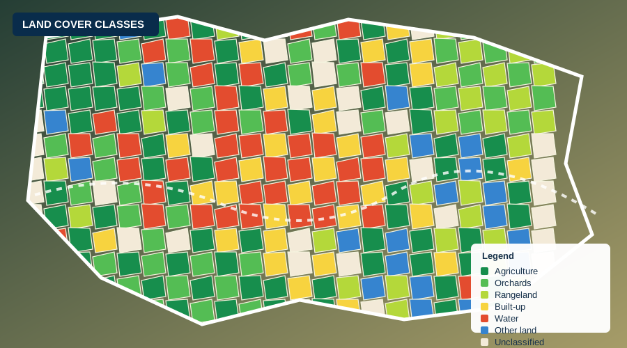
Crop monitoring, area estimation, seasonal crop mapping, land use and land cover mapping.
 Explore agriculture and land monitoring →
Satellite to decision
LSGA combines satellite imagery, machine learning and field verification to deliver reliable information on agriculture, land and climate risk, in places where ground data is limited.
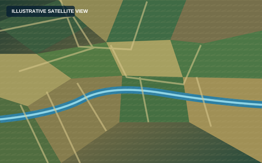
 Satellite image
The gap we close
In many places, up-to-date and reliable ground data is limited. LSGA combines satellite data, advanced analytics and field verification to bridge this gap, providing trusted information for agriculture, land management and climate risk.
What we do
Geospatial services built around practical evidence and transparent methods.
Crop monitoring, area estimation, seasonal crop mapping, land use and land cover mapping.
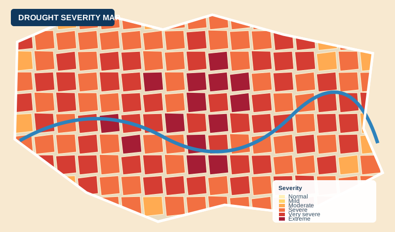
Explore agriculture and land monitoring →Drought, flood and other hazard assessment using satellite data and climate data.
 Explore climate risk and hazard assessment →
Independent monitoring using satellite imagery, field surveys and data analysis for transparent, objective information.
From satellite to decision
Evidence in numbers
Featured projects
About LSGA
Land Sensing Geospatial Analytics is a geospatial data and analytics company that uses satellite imagery, machine learning and field verification to provide reliable information for agriculture, land management and climate risk.
Learn more about us →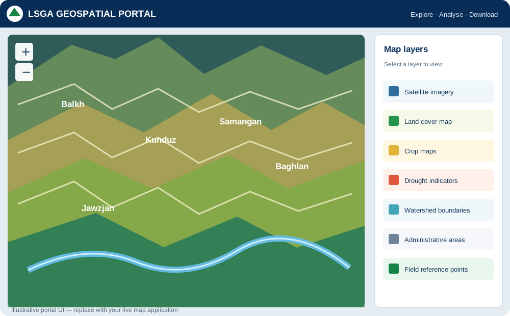
Verified on the ground
We combine satellite analysis with field data to deliver reliable results.
Built for the region
Our methods and services are tailored to Afghanistan and similar environments.
Open about accuracy
We report methods, data sources and accuracy so results can be trusted.
Get in touch
Tell us what you need to know, and we will propose how to answer it.