
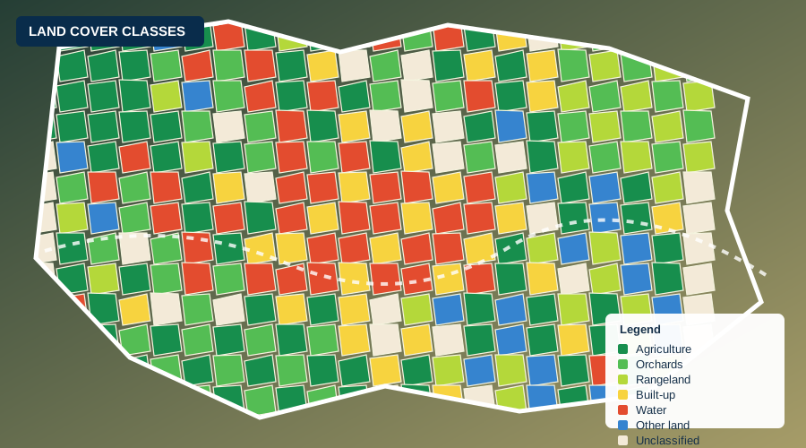
Land cover 2025, northern Afghanistan
6 provinces · 10 m · 11 classes
A current land cover map for northern Afghanistan.
Land Sensing Geospatial Analytics
Explore our maps online, and download open geospatial data for your own analysis.
LSGA Earth Engine portal
Our portal can run in a web browser so you can explore published results without installing specialist software. Add your real Google Earth Engine app URL in the page editor before publishing.
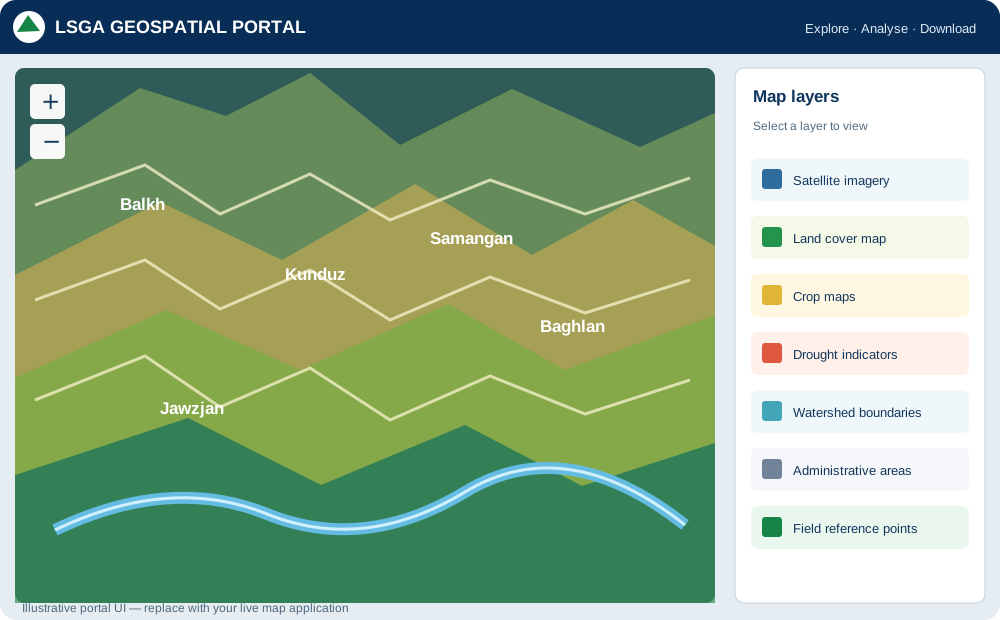
Replace this preview with your operational Earth Engine app or an embedded map when the URL is available.
Open datasets
Publish only datasets that your organisation has permission to share. Add file links, metadata, licence and citation details to each dataset card.
6 provinces · 10 m · 11 classes
A current land cover map for northern Afghanistan.
10 m · 2 seasons · accuracy to confirm
Spring and summer crop maps from satellite time series.
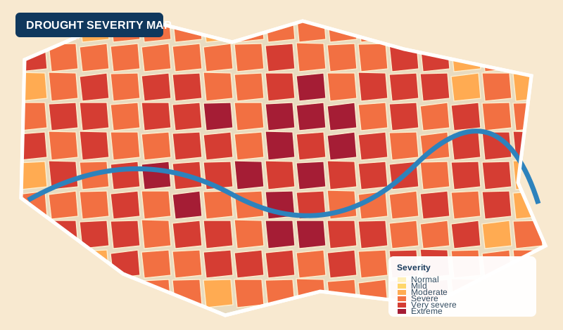
20 years · 5 indicators
Long-term drought indicators derived from satellite and climate data.
How to use our data
view data in the LSGA portal
get files when approved
use data in your own GIS
acknowledge LSGA and the project
Get in touch
Tell us what you need to know, and we will propose how to answer it.